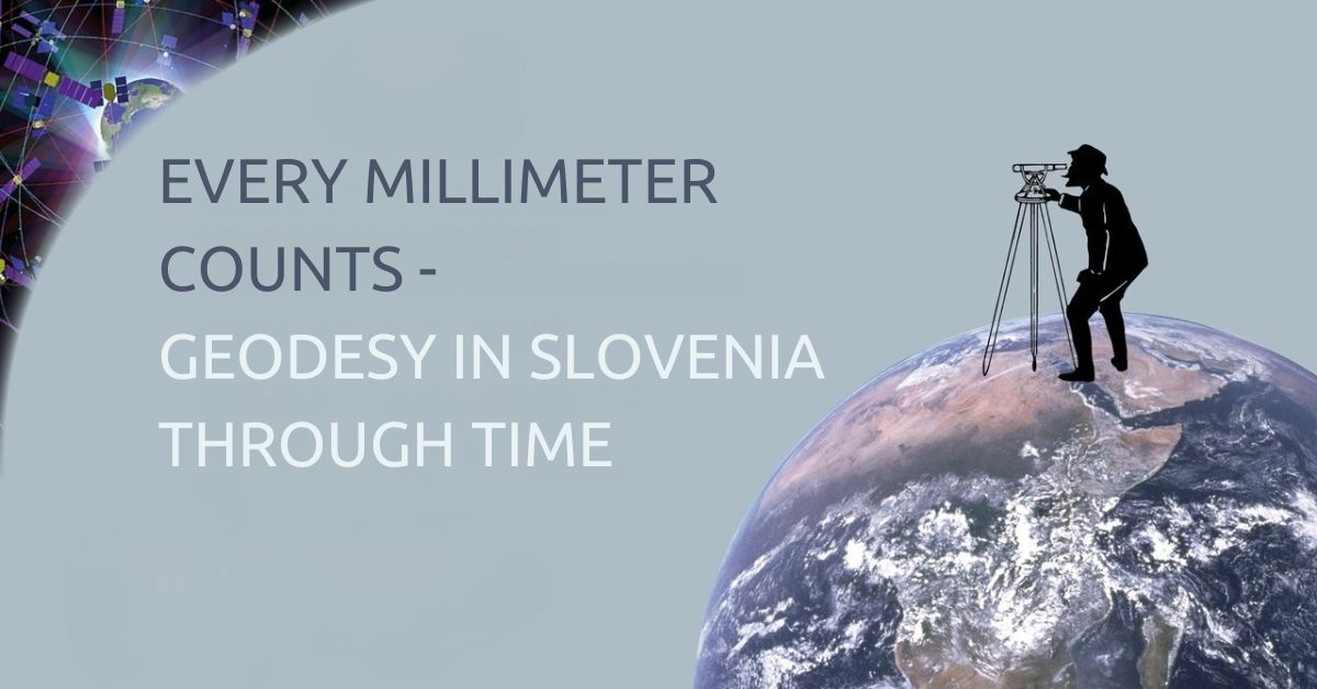
Every millimeter counts – Geodesy in Slovenia through time, temporary exhibition
This clear, engaging and educational exhibition presents the main milestones in the development of geodesy in chronological order and explains key concepts related to geodesy and cartography. It takes visitors through two hundred years of land cadastre history in Slovenia and demonstrates the practical applications of geodesy.
In everyday life, geodesy plays an important role in construction, engineering, surveying, remote sensing, agriculture, research, the study of cultural heritage and, last but not least, the military.
The exhibition features a series of information panels, display cases with a variety of fascinating surveying instruments and other museum objects, as well as multimedia presentations and an interactive 3D presentation of the content. To make geodesy and its specialised terminology more accessible to visitors, the exhibition’s authors have also created a glossary featuring engaging illustrations designed to appeal to younger audiences.
The exhibition was prepared by the Technical Museum of Slovenia (TMS) in cooperation with the Surveying and Mapping Authority of the Republic of Slovenia, the Association of Surveyors of Slovenia, and the Faculty of Civil and Geodetic Engineering at the University of Ljubljana, Department of Geodetic Engineering.
The exhibition will be on view until the end of November 2026.